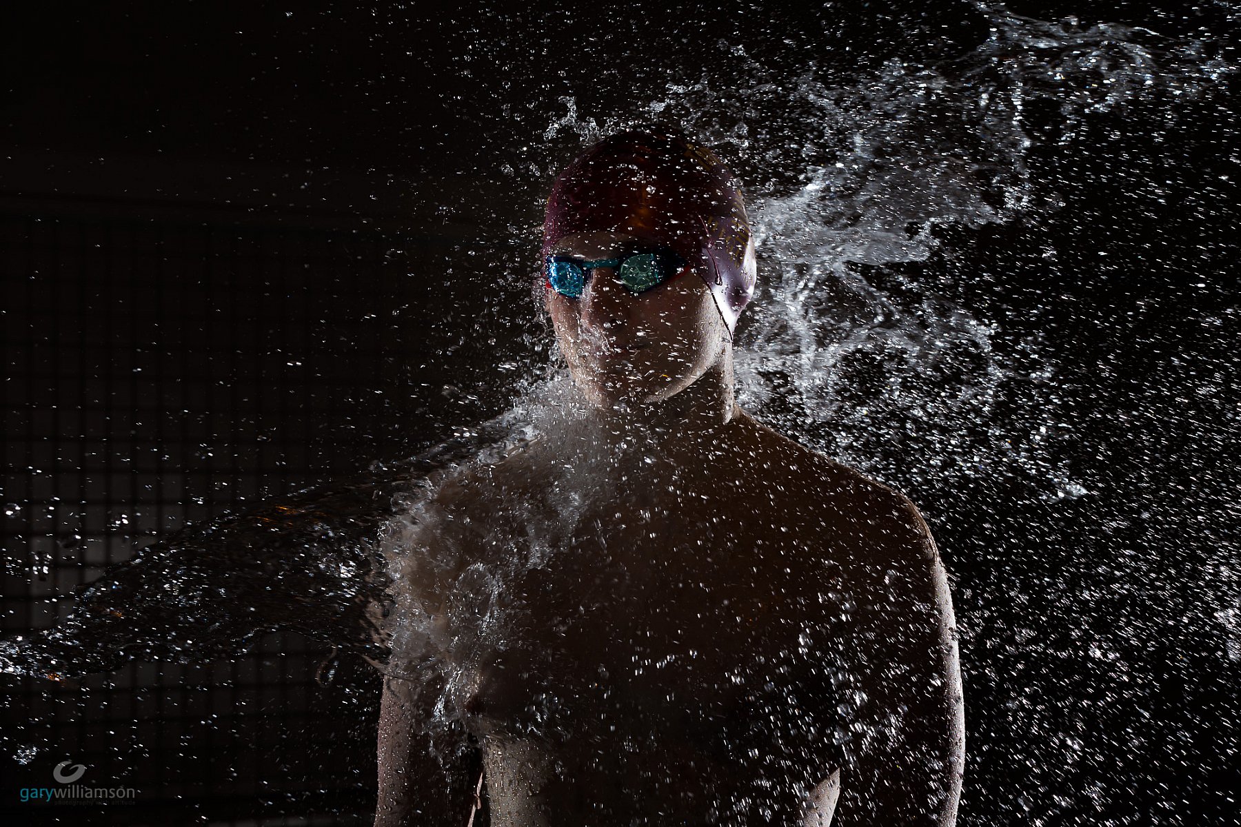
Recent Events
Galleries
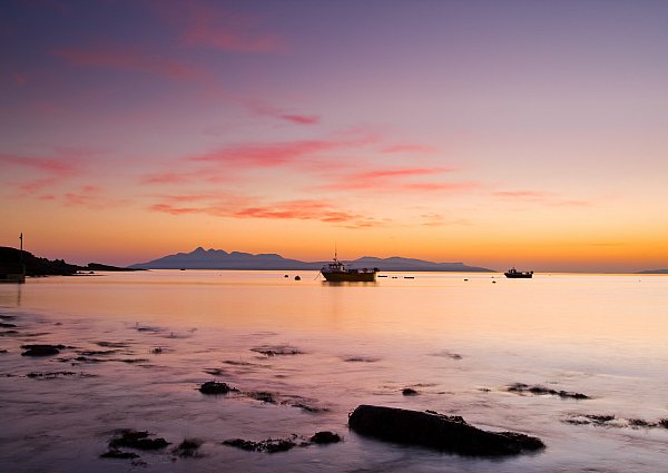
View Gary's images taken in and around Scotland. All available to purchase in prints, canvas, acrylics or other special materials.
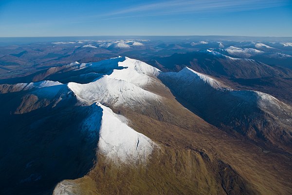
Gary has an excellent range of aerial images taken in the Scottish Highlands and further afield.
Gary attends a small selection of events. He is available to attend an event for a fee or to provide images to participants. Please feel free to discuss our event with him.
Say hello
About / Contact Gary
Based in the Scottish Highlands Gary uses his paramotor (a powered paraglider) to access unique positions in which he can capture the beauty of the area. His unusual perspective makes everyday objects look that little bit different.
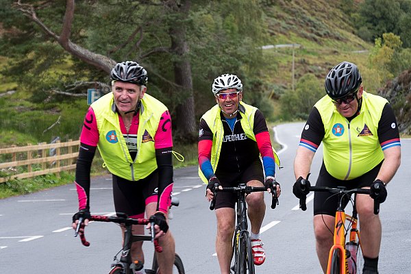
In addition to his aerial and Landscape images Gary attends a number of sporting events - particularly mountain bike race events - and has special rates for those images which are available to purchase here. Gary is also available for commissioned work.